Standing on the summit of Mount Taygetos, with the whole Peloponnese spread out below us and the sea shimmering in the distance, was one of the highlights of our entire road trip. Getting there took longer than it should have – partly because of bad luck, and partly because of a mistake we'd love to save you from.
This is the honest story of our hike to Profitis Ilias, the highest peak of the Taygetos range, and a practical guide to doing it better than we did.
The short version
Drive all the way up to the Taygetos Refuge and start hiking from there. We parked lower down at Manganiari Spring because we thought the road to the refuge wasn't drivable – and then found the refuge car park full of ordinary small cars. Starting at the refuge saves roughly 3.6–3.7 km each way, around 7.3 km in total, and you still get the best part of the mountain.
Our hike in numbers
Recorded on our own hike from Manganiari Spring, September 2026. Please don't use our total time as a benchmark – we'll explain why below.
About Mount Taygetos and Profitis Ilias
The Taygetos massif runs for around 100 km down the middle of the southern Peloponnese, from the centre of the peninsula to Cape Matapan, separating Laconia and Sparta in the east from Messenia and Kalamata in the west. Its highest point, Profitis Ilias, is usually given as 2,405 metres (sources vary between 2,404 and 2,407 m), making it the highest summit in the Peloponnese.
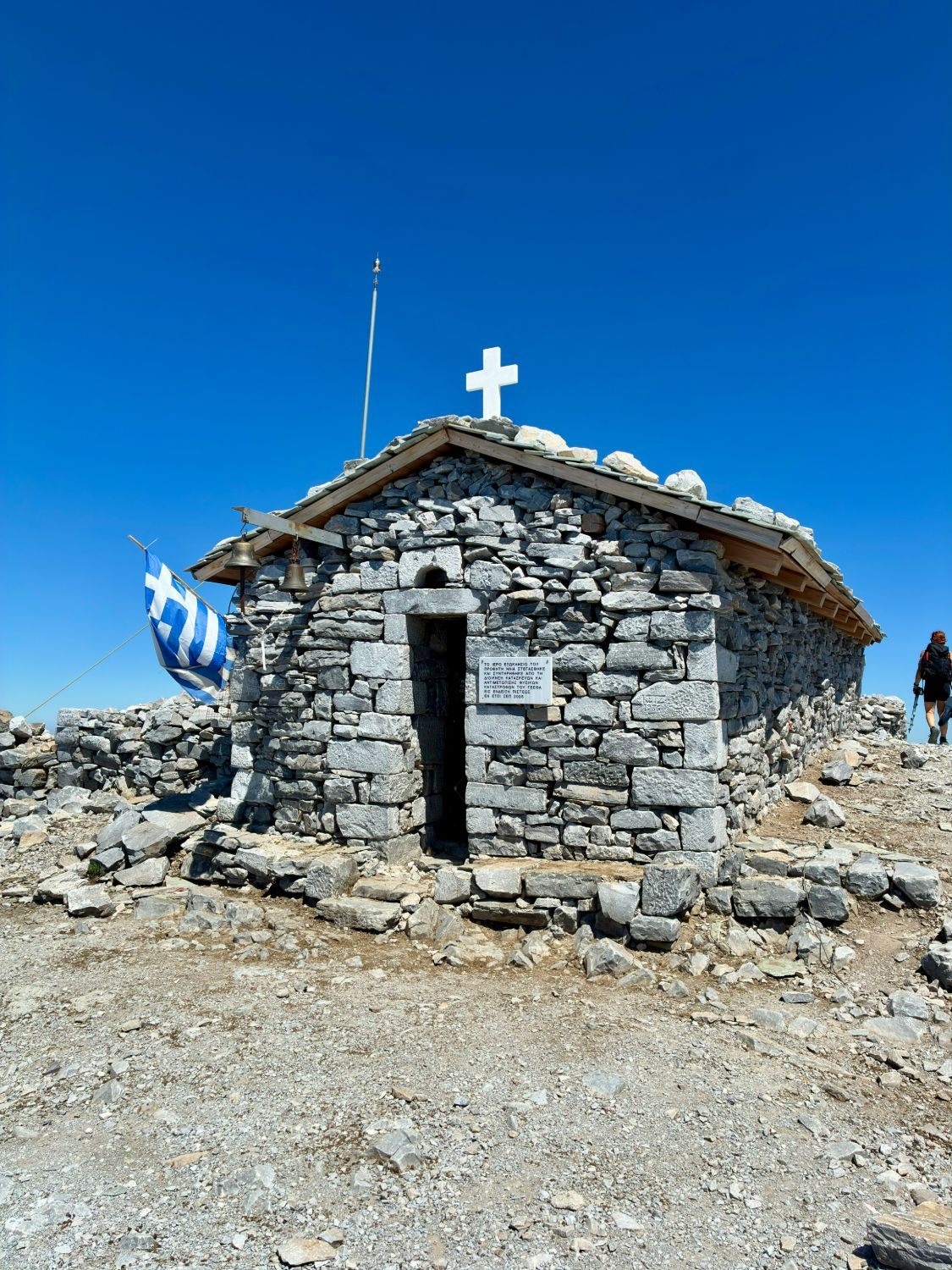
The peak is named after the small stone chapel of the Prophet Elijah on the summit. Every year on 20 July, the feast day of Prophet Elias, a festival is held at the top and a large bonfire is lit.
Where we stayed before the hike
We stayed two nights, 5–7 September 2026, at Ilaeira Mountain Resort in the small mountain village of Toriza, about 15 km from Sparta.
For a Taygetos hike, the location is excellent. It took us only around nine minutes to drive from the hotel to where the mountain road towards the trailhead begins.
The room itself wasn't as good as we had hoped – the kitchen facilities in particular were disappointing. But if your main goal is hiking Taygetos, the location is the reason to stay here. We paid DKK 1,819.95 (roughly €245) for the two nights.
Getting to Mount Taygetos
The hike starts on the eastern, Laconian side of the mountain, above Sparta. From the village area, a long, winding mountain road climbs up through the forest. Further up, it becomes a gravel forest road that leads past Manganiari Spring and on to the Taygetos Refuge.
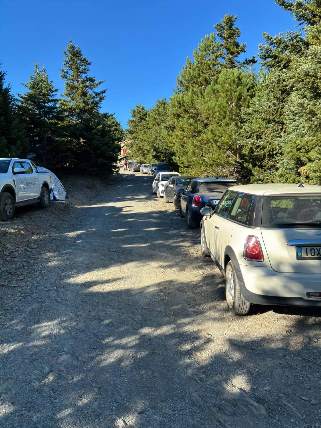
You can easily drive all the way to the refuge in a normal car. Some older trip reports and route descriptions suggest the road is too rough or that you need an SUV – that's not what we found. In September 2026, the final stretch was a good, wide gravel road, and the parking along it was lined with small everyday cars: Mini Coopers, compact hatchbacks and rental cars, parked all the way up to the refuge.
Our advice on the road
Drive up to the refuge – don't make the mistake we did of assuming you can't. Take the gravel section slowly, and keep in mind that any mountain road can be affected by heavy rain or winter snow.
The mistake we made with the starting point
We found our route on AllTrails: Manganiari Spring – Mount Taygetus Refuge – Profitis Ilias Peak. Based on what we had read, we believed you couldn't drive all the way up to the mountain refuge.
So we parked lower down at Manganiari Spring and started hiking from there.
That turned out to be a mistake.
When we reached the refuge, there were lots of cars parked up there – including completely normal small cars. We could easily have driven the whole way.
We started too low. Here's what we would do differently.
Starting at Manganiari Spring added roughly 3.6–3.7 km each way – more than 7 km in total – plus a good chunk of extra climbing through the forest. Published route descriptions put the section from Manganiari Spring to the refuge at around 550 metres of ascent and about an hour and a half of walking uphill.
Is the lower section worth doing? If you want a longer, tougher day or you're using the hike as training, absolutely. But for most hikers, we'd skip it.
From Manganiari Spring to the refuge
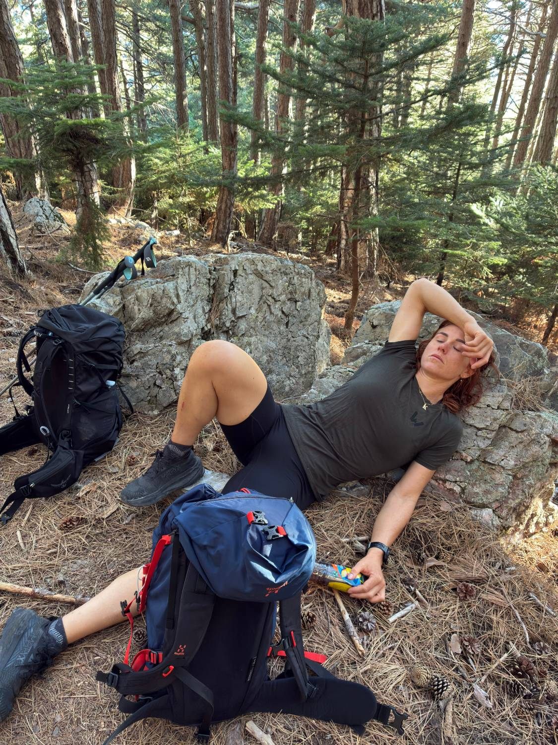
Because we started at the spring, we spent a long time on the lower part of the mountain. The trail climbs through pine forest on the slopes above the Varvara stream, and there's already a fair amount of ascent before you reach the refuge.
On top of that, it wasn't Kristine's day. She had come down with a stomach bug and felt ill throughout the climb, with stomach pain and even being sick on the way up. Naturally, that slowed us down a lot – and it's a big part of why our hike took more than ten hours.
So to be clear: our total time was long because we started too low, because Kristine was ill, and because we took a lot of breaks. A normal hike starting from the refuge can be considerably shorter.
The Taygetos Refuge
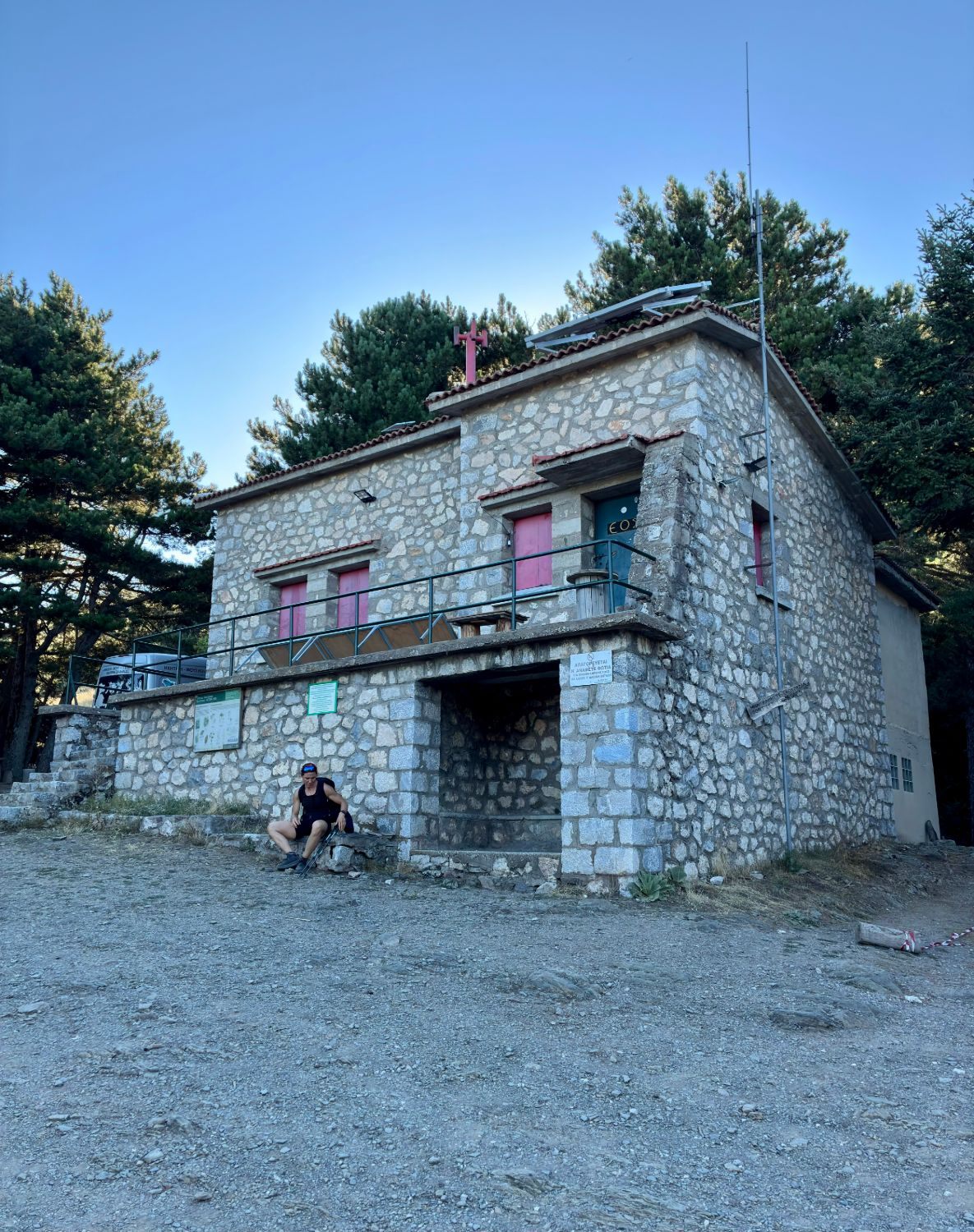
Arriving at the refuge was a bit of a surprise. The car park was busy – and that's when we realised our assumption had made the day unnecessarily long.
The refuge sits on a pass at around 1,550 metres and is run by the mountaineering club of Sparta. It's normally only open by prior arrangement, so don't count on buying food or drinks there. When we were there, there were toilets by the refuge.
Hiking from the refuge to Profitis Ilias
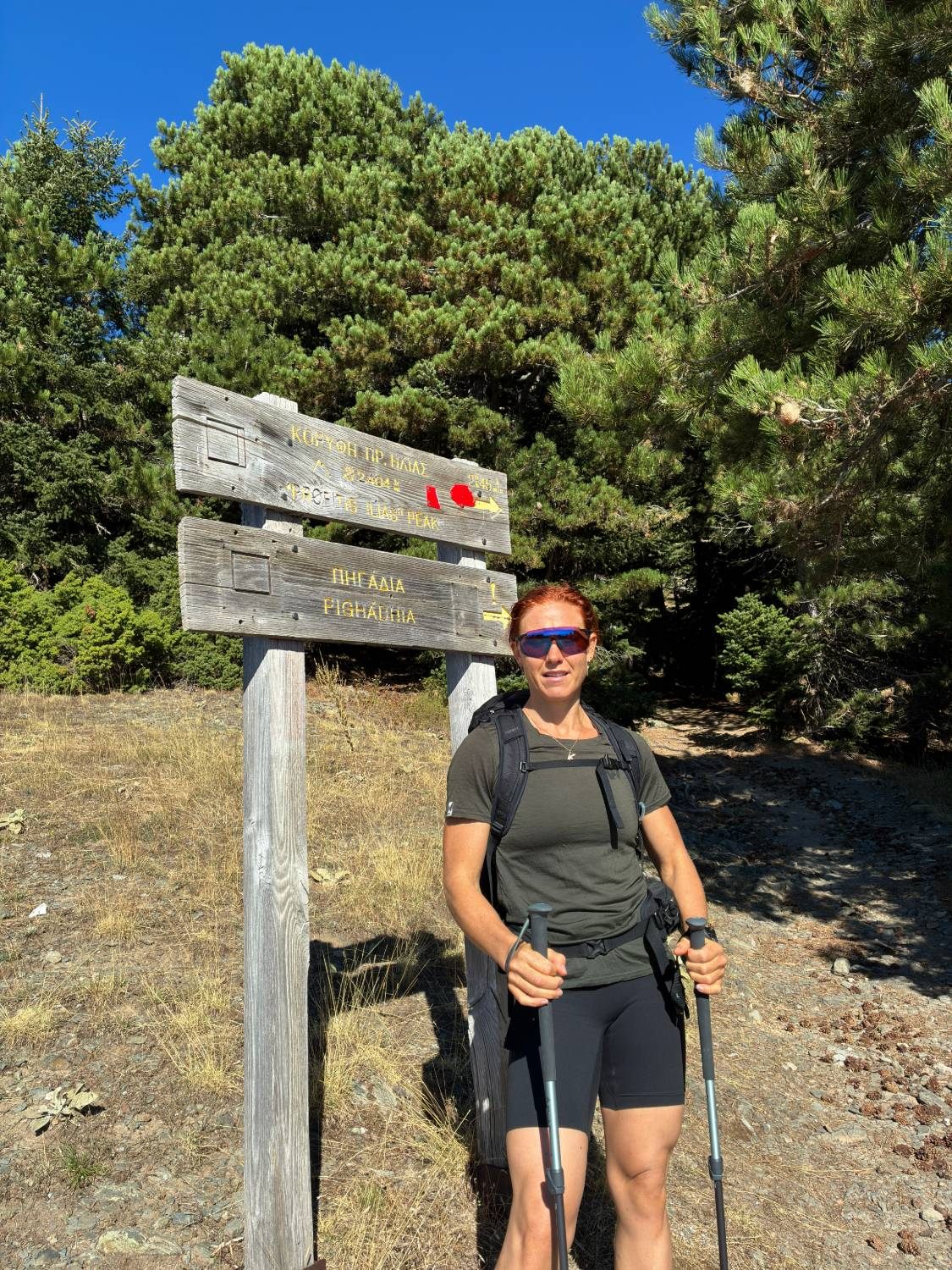
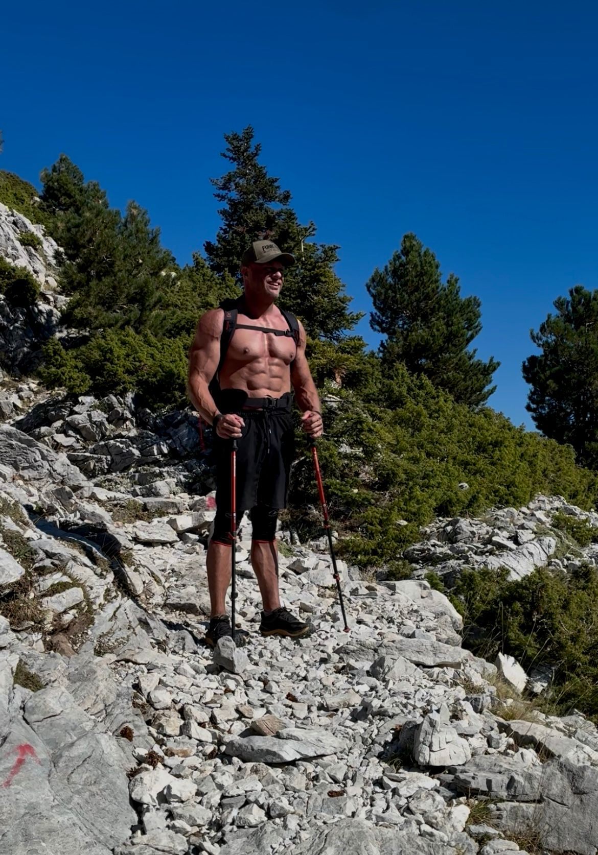
From the refuge, the route to the summit is very clearly marked with red trail markings. In our experience it was easy to follow, and we didn't need to keep checking AllTrails. Other hikers describe the signposting on this section as some of the best in the Greek mountains.
We'd still recommend carrying an offline map or GPS track as a backup – markings can fade and conditions can change, especially in fog.
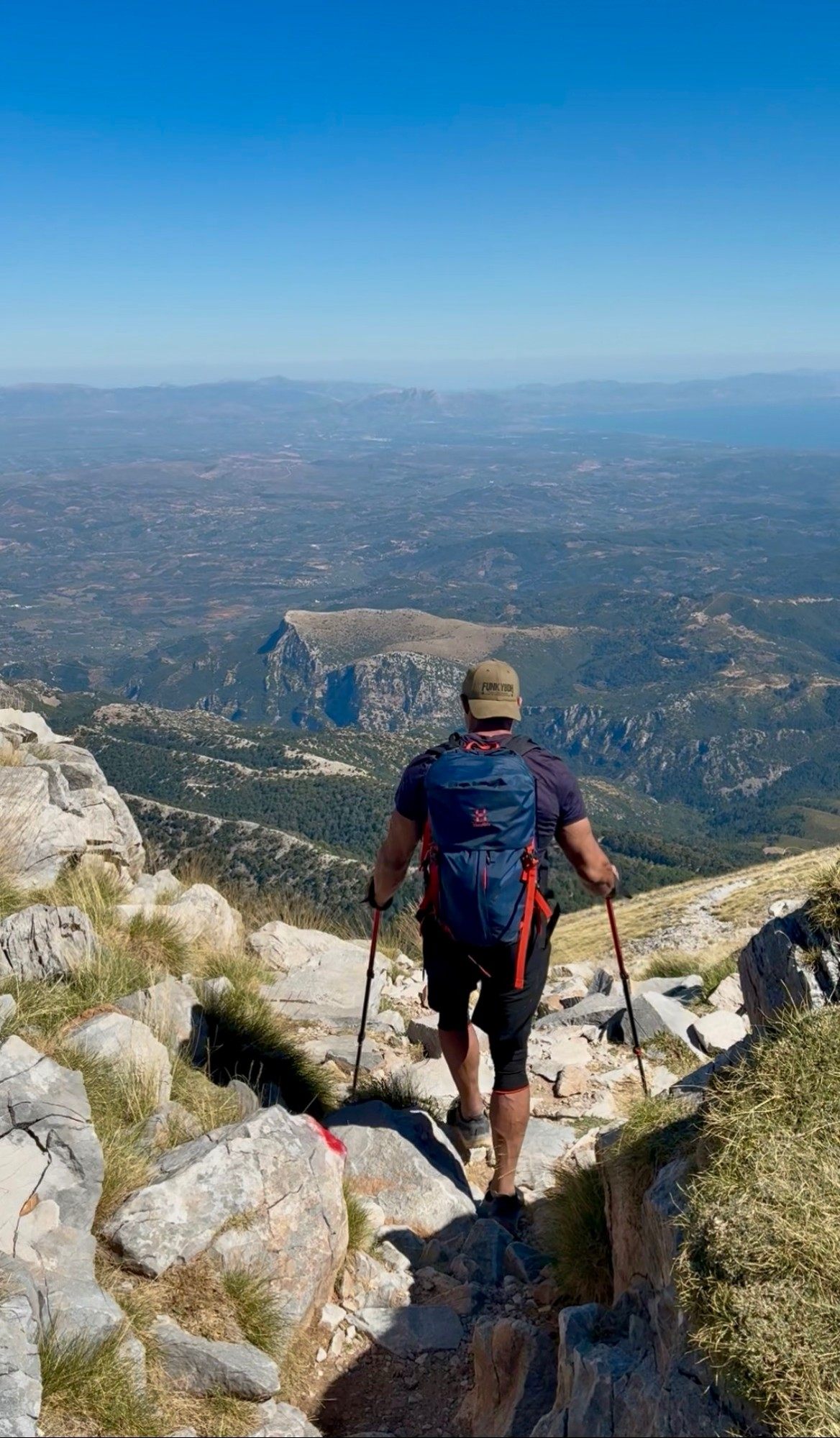
The trail leaves the forest fairly quickly, and the terrain changes character. It becomes rockier and more alpine. It's still ordinary hiking – not technical climbing – and we didn't have to scramble anywhere.
From the refuge to the summit is about 850 metres of ascent. Published descriptions estimate around 2.5–3 hours for the climb.
Heat and exposure
There is very little shade on the upper part of the mountain. We hiked in September and it was still hot, and the upper slopes are completely exposed to the sun.
Take the heat seriously. Bring plenty of water – more than you think you'll need – plus sun protection, and start early.
The final ascent
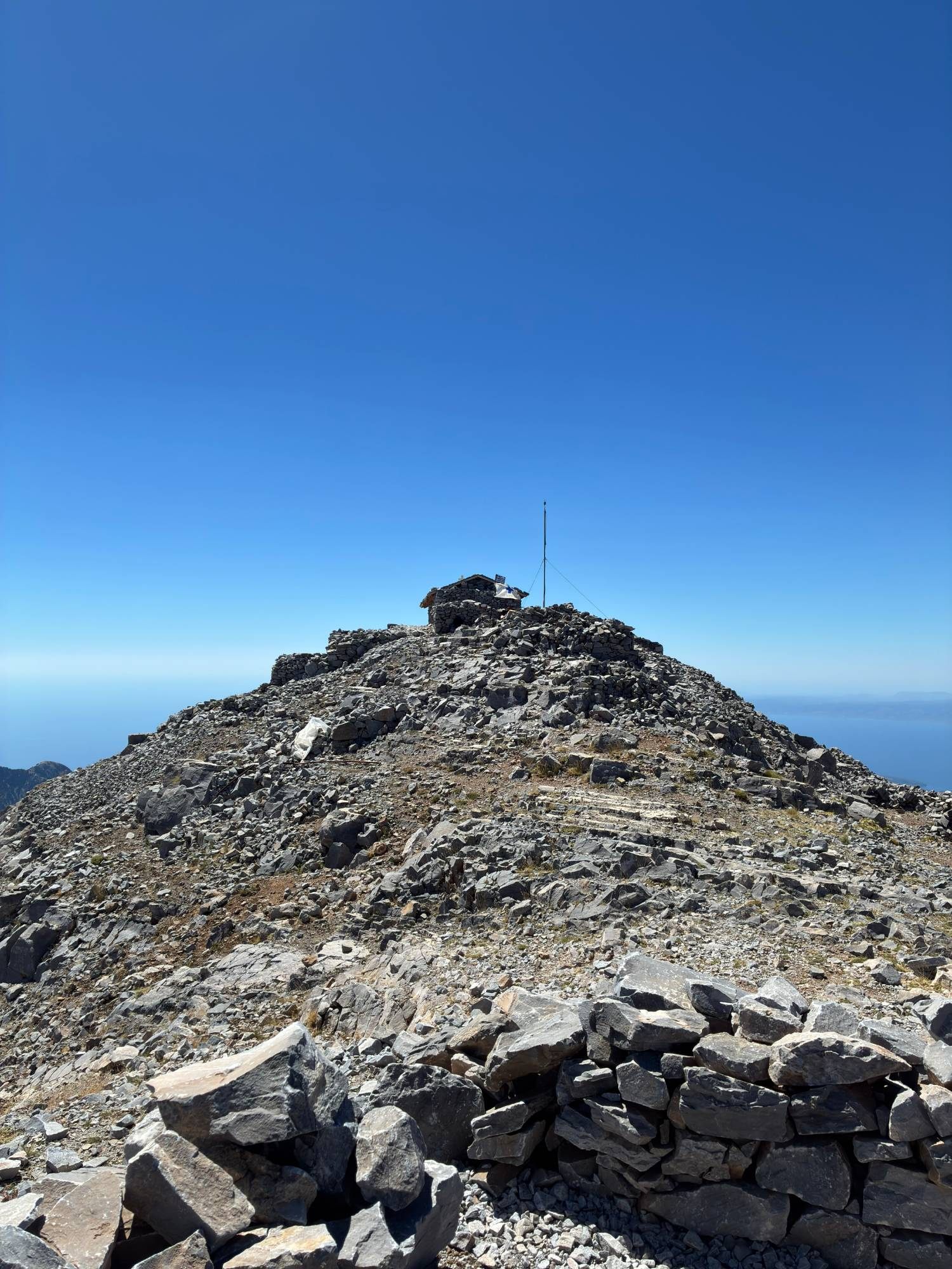
As you get closer to the top, the trail gradually gets steeper, and the last part towards the summit is considerably steeper still. AllTrails' route description calls this final section "quite technical"; for us it felt like steep, rocky hiking rather than anything technical – but it is hard work, especially in the heat.
The trail stays clear all the way, with red markings guiding you up.

Reaching Profitis Ilias
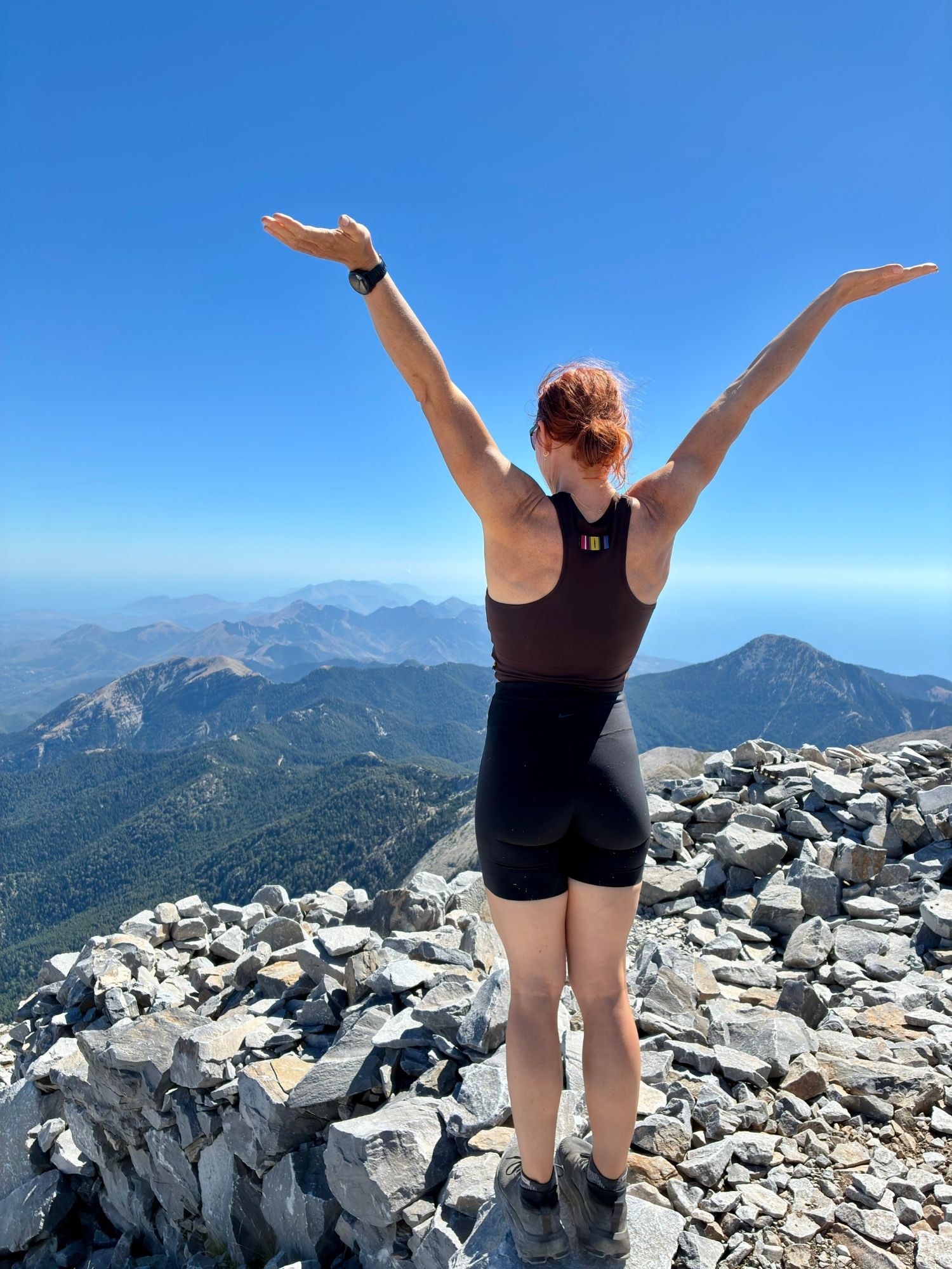
And then, finally, we were there: Profitis Ilias, 2,405 metres, with its small stone chapel sitting right on the summit.
After everything – the long lower section, Kristine's stomach, the heat on the exposed slopes – reaching the top felt fantastic. It's one of the moments we remember most clearly from the whole road trip.
The views from the summit
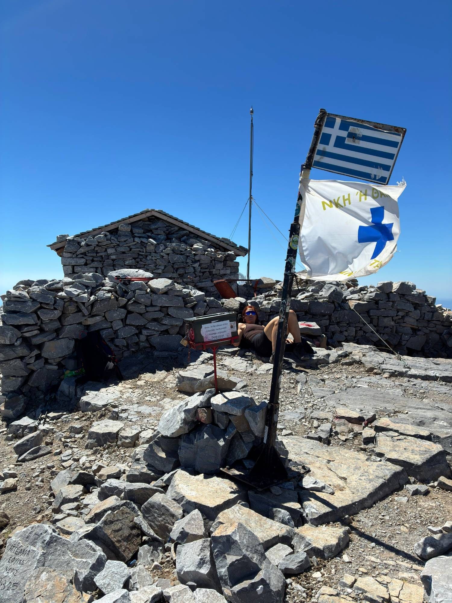
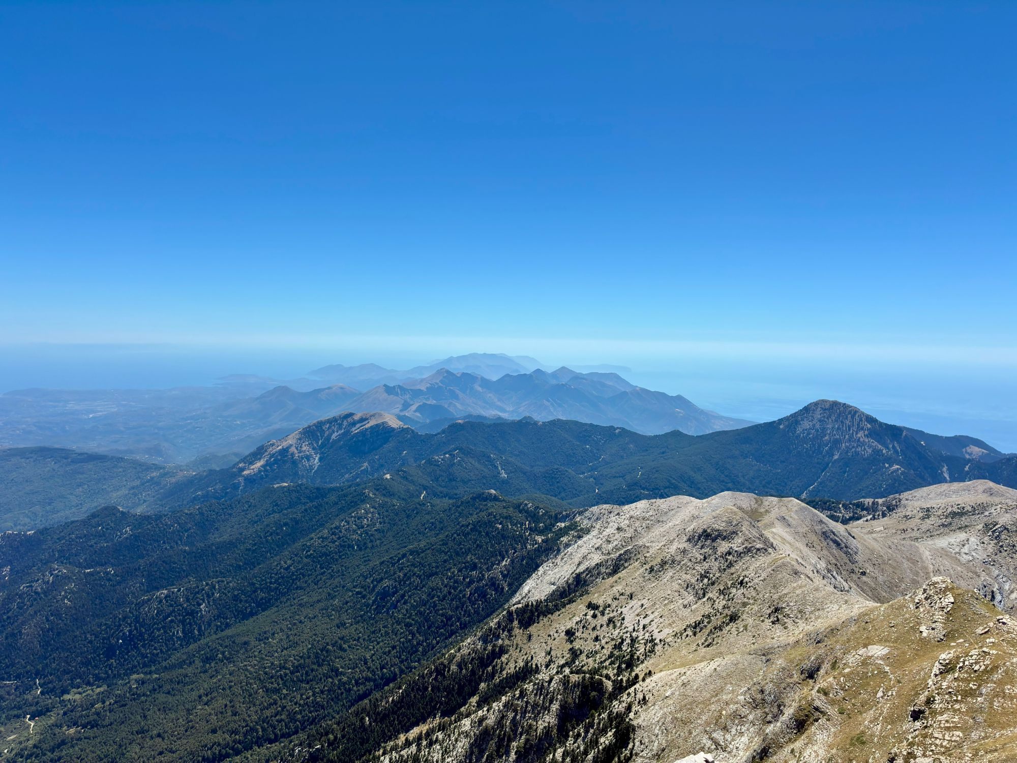
The view from the top is enormous. The Peloponnese unfolds in every direction – mountain ridge after mountain ridge – and beyond the land you can see the sea and the coastline far into the distance.
This is the reward for the climb, and it's worth every step.
A little arm wrestling at the summit
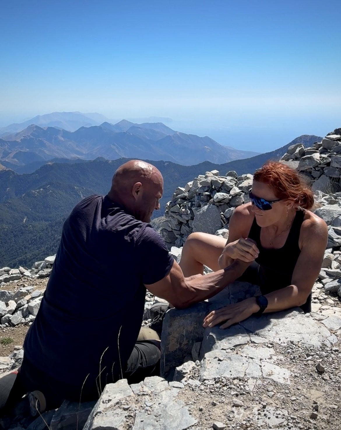
Not every summit moment has to be serious. At the top, Kristine and I settled things the only fair way: a quick arm-wrestling match next to the chapel at 2,405 metres. We'll let the photo speak for itself.
See the hike in motion
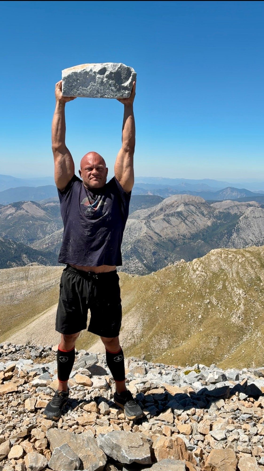
The rocky trail, the final climb and the view from the top – here's our reel from Mount Taygetos.
Hiking back down
After the summit, we went back the way we came. The rocky section on the descent was beautiful but physically demanding – loose stones and steep ground are hard on tired legs and knees.
When we got back to the refuge, it was suddenly almost empty. Hardly anyone was left. And we still had around 3.7 km through the forest to go before we reached our car.
That was the moment we really wished we had driven all the way up.
What we would do differently
- Drive to the refuge. This is the big one. It saves around 7.3 km and a lot of forest climbing.
- Start earlier. The upper mountain is exposed, and the heat builds quickly – even in September.
- Carry more water than you think. Don't rely on finding water along the way.
- Don't trust a single source. Our assumption came from one route description. Check recent reviews and trip reports before you decide where to start.
Our recommended route
There's a clear difference between the route we actually hiked and the one we'd recommend today.
The route we hiked
- Manganiari Spring
- Taygetos Refuge
- Profitis Ilias
- Taygetos Refuge
- Manganiari Spring
~15 km · ~1,400 m ascent
The route we recommend
- Drive to Taygetos Refuge
- Hike to Profitis Ilias
- Back to the refuge
~7.5 km · ~850 m ascent
The recommended route still gives you the best of Mount Taygetos – the alpine terrain, the summit, the chapel and the views – without the long lower section through the forest. If you want the extra challenge, our original version is a great full-day workout.
How hard is the Mount Taygetos hike?
We won't call it easy or even "moderate". Even from the refuge, you're climbing around 850 metres over rocky mountain terrain, and from Manganiari Spring it's around 1,400 metres. When we used it, AllTrails rated the full route from Manganiari Spring as hard, with 15.0 km, 1,406 m of elevation gain and an estimated 8–9 hours.
For us, the day felt hard – but our experience was shaped by starting too low, the extra kilometres, Kristine being ill, the heat and the exposed upper slopes.
A fair description is this: a demanding but non-technical mountain hike. You don't need climbing skills, but you do need decent fitness, proper footwear, plenty of water and respect for the heat and the steep, rocky final section.
Practical information
| Summit | Profitis Ilias, approx. 2,405 m – highest point of the Peloponnese |
|---|---|
| Recommended start | Taygetos Refuge, approx. 1,550 m – easily reached in a normal car via a good gravel road (September 2026) |
| Our start | Manganiari Spring (AllTrails route "Manganiari Spring – Mount Taygetus Refuge – Profitis Ilias Peak") |
| From the refuge | Approx. 850 m ascent; around 2.5–3 hours up according to published route descriptions |
| Our full hike | 14.99 km, 1,410 m ascent, 7 h 50 min moving, 10 h 15 min in total |
| Trail markings | Red markings from the refuge to the summit – clear and easy to follow in our experience |
| Facilities | Toilets at the refuge when we visited; refuge normally open only by prior arrangement |
| Shade | Very little above the forest – the upper mountain is fully exposed |
| Where we stayed | Ilaeira Mountain Resort, Toriza – approx. 9 min drive to the mountain road (booked through Hotels.com) |
| When we hiked | September 2026 – still hot |
What to bring
- Plenty of water and salty snacks
- Sun hat, sunglasses and sunscreen
- Hiking boots with good grip for the rocky upper section
- A wind layer – it can be cooler and windier on the summit
- An offline map or GPS track as a backup
Final thoughts
Mount Taygetos gave us one of the toughest – and best – days of our Peloponnese road trip. It wasn't the smooth, perfectly planned hike we'd imagined. We started too low, Kristine was ill, and the heat on the upper slopes was relentless.
But standing next to the little chapel on Profitis Ilias, looking out over the mountains and the sea, none of that mattered much.
If you go: drive to the refuge, start early, bring lots of water – and leave some energy for arm wrestling at the top.
Continue the journey
After the summit, we gave our legs a rest with a slow day and a scenic drive to Kalamata. See the full route in our 9-day Peloponnese road trip itinerary.